
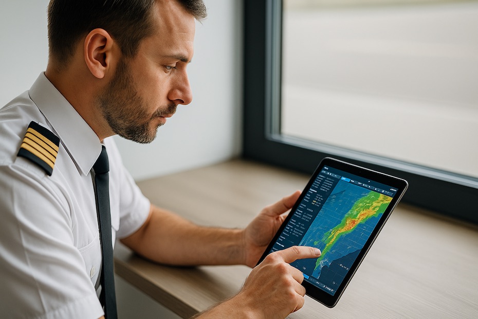
If you’re serious about safe and efficient flight planning, you need accurate and aviation-specific weather forecasting tools. Modern platforms combine radar, satellite, and predictive modeling to give you real-time insight into the atmosphere ahead—helping you make confident go/no-go decisions and minimize operational risk.
In this guide, you’ll discover ten of the best aviation weather platforms that professionals worldwide depend on. From flight schools to airlines, these tools offer precision data, customizable alerts, and advanced meteorological intelligence designed for aviation use—not generic weather tracking.
1. Aviation Weather Center (AWC) — The Official Source for U.S. Aviation Data
The Aviation Weather Center (AWC), operated by NOAA, remains one of the most trusted weather resources for flight planning. Its Global Forecast System (GFA) gives you the complete picture—METARs, TAFs, SIGMETs, AIRMETs, and icing forecasts—all in one unified dashboard.
The Graphical Forecasts for Aviation (GFA) section is particularly valuable. It presents forecasts for cloud cover, turbulence, precipitation, and visibility with intuitive visual layers. You can analyze each altitude band, timeline, and weather type in seconds—making it indispensable for preflight briefings and dispatch coordination.
If you fly primarily in the U.S., AWC is your baseline reference for official aviation-grade data before consulting any secondary tools.
2. ForeFlight — Integrated Weather for Modern Flight Operations
ForeFlight combines flight planning, navigation, and weather forecasting in one streamlined platform. It’s widely used among professional pilots and flight schools because it turns complex weather data into simple visual layers—METARs, radar, satellite imagery, icing forecasts, and turbulence models.
What makes ForeFlight particularly useful is Weather Layers, which you can overlay on charts and flight routes. You can visualize cloud tops, winds aloft, and storm cells directly along your route. The MOS Forecast feature extends beyond standard TAFs, offering predictive forecasts for smaller airports lacking routine updates.
ForeFlight’s integration with ADS-B and SiriusXM adds real-time radar and lightning updates during flight—critical for en-route awareness.
3. Windy — High-Resolution Global Weather Visualization
When you need to visualize weather systems globally, Windy.com offers one of the most intuitive meteorological interfaces available. The app combines ECMWF and GFS data models to provide real-time maps of wind, temperature, cloud cover, and pressure systems.
Windy is especially popular among cross-country and glider pilots who rely on detailed wind gradients and cloud base data. Its isobaric layers and wind-stream animations make it easier to predict turbulence, wind shear, or mountain waves before takeoff.
You can also personalize the display with aviation-specific overlays—such as METARs, TAFs, and airspace boundaries—to adapt Windy into a legitimate preflight briefing tool.
4. ClimaVision Horizon AI — Predictive Accuracy at the Airport Level
For advanced users who want site-specific accuracy, ClimaVision Horizon AI offers next-generation forecasting technology. It uses proprietary AI models and private weather radar networks to generate forecasts with ultra-high spatial resolution—perfect for airfields located in weather data “blind spots.”
Its biggest strength is point-based forecasting, which delivers hyper-local predictions for visibility, wind, and temperature layers at the runway level. This precision is especially valuable for operators flying into secondary or mountainous airports where regional models may miss localized effects.
Airlines and FBOs have adopted ClimaVision for its ability to provide customized airport weather dashboards and early warnings for convective activity.
5. The Weather Company — Aviation-Scale Meteorological Intelligence
Owned by IBM, The Weather Company provides enterprise-grade weather intelligence to airlines, dispatch centers, and airport authorities. Its Total Turbulence and FlightHub systems integrate with flight management platforms to offer predictive alerts and route optimization tools based on atmospheric analysis.
What makes it powerful is its AI-driven modeling, which merges radar data, satellite imagery, and pilot reports into a single actionable forecast. Airlines use it to anticipate turbulence corridors, optimize fuel burn, and improve on-time performance.
For commercial operators or corporate flight departments, The Weather Company delivers the depth and automation that traditional apps cannot match.
6. Baron Weather — Precision Data for Pilots and ATC
Baron Weather specializes in radar-based meteorological technology used by ATC, broadcasters, and pilots alike. Its aviation platform translates high-resolution radar imagery into easy-to-interpret visuals showing storm tracks, lightning density, and precipitation intensity.
The system’s real-time nowcasting engine identifies microbursts, hail, and storm growth trends before they’re visible on conventional radar. This predictive advantage gives you more reaction time in both planning and en-route decision-making.
Many professional operators integrate Baron Weather into flight displays or situational awareness tools to enhance safety, especially during convective-weather seasons.
7. WeatherSpork — Route-Based Decision Support for GA Pilots
WeatherSpork is designed specifically for general aviation and training pilots who want to understand weather, not just observe it. Created by meteorologist Scott Dennstaedt, it provides a unique route-based briefing system that translates complex data into visual storyboards.
You can view “spork” timelines showing cloud bases, precipitation type, and temperature profiles along your planned route. It helps you spot weather trends in advance—like icing layers or crosswinds at destination airports—and adjust accordingly.
WeatherSpork is also educational. It includes video tutorials and meteorological explanations that strengthen your weather interpretation skills over time.
8. Visual Weather (IBL Soft) — Advanced Meteorological Visualization
When your operation requires professional-level forecasting, Visual Weather by IBL Soft delivers fully customizable meteorological charts and modeling. Used by air navigation service providers and meteorological agencies, it combines data from multiple global models with precision visualization tools.
You can generate forecasts, overlays, and briefing graphics for any region or flight corridor. It’s ideal for dispatch centers or training environments where multiple weather layers must be analyzed in detail.
Although designed for professionals, Visual Weather’s user interface makes it accessible to advanced GA pilots seeking data-driven planning precision.
9. MyRadar — Fast, Mobile Weather Tracking
MyRadar is one of the most popular aviation-adjacent radar apps worldwide. Its strength lies in speed—it delivers live weather updates, NEXRAD radar loops, and lightning data with minimal delay.
For pilots, the aviation layer displays AIRMETs, SIGMETs, and TFRs directly over radar imagery, making it convenient for last-minute weather checks before engine start. It’s not a full-fledged aviation suite like ForeFlight but a perfect secondary verification tool for real-time radar clarity.
The app’s clean interface and instant loading make it ideal for quick go/no-go assessments at the airport or en route via Wi-Fi connection.
10. MeteoMatics — Global Precision via API and Drone Data
MeteoMatics stands out for its data innovation. It collects ultra-dense atmospheric readings using proprietary weather drones (Meteodrones) combined with over 110 global models, providing forecasts with vertical precision up to 10,000 m.
For operators or developers building aviation-specific applications, MeteoMatics’ API enables integration of real-time temperature, humidity, and wind data into flight systems. This is particularly relevant for airlines, UAV operators, and meteorology-focused research teams.
Its Weather API allows automation of complex preflight checks—ideal for modern flight departments that rely on digital transformation for safety and efficiency.
How to Build a Reliable Aviation Weather Workflow
Even with great tools, efficiency depends on how you use them. A disciplined weather-briefing routine ensures consistency and reduces decision fatigue before every flight.
Here’s a proven workflow you can implement:
- Begin with AWC or your national weather authority for official METARs, TAFs, and advisories.
- Use ForeFlight or WeatherSpork to overlay weather on your planned route.
- Consult Windy or ClimaVision for high-resolution, forward-looking forecasts.
- Cross-verify radar and real-time data through MyRadar or Baron Weather.
- Store trend data or anomalies for post-flight analysis via Visual Weather or MeteoMatics API.
Adopting this layered method allows you to catch inconsistencies between models and maintain situational awareness at every phase of flight.
Why Relying on Multiple Platforms Improves Safety
No single model captures the atmosphere perfectly. By cross-checking forecasts from different data sources, you eliminate blind spots—whether that’s a low-pressure system developing faster than expected or convective activity not yet flagged by one provider.
Professional pilots and dispatchers typically consult three or more independent platforms before a major flight. This practice ensures redundancy and exposes discrepancies early, letting you choose the safest and most efficient routing option.
The smartest aviators don’t rely on one perfect forecast—they triangulate multiple credible ones.
Top aviation weather platforms pilots rely on
- Aviation Weather Center — official U.S. source for aviation forecasts
- ForeFlight — integrated flight and weather planning app
- Windy — high-resolution global visualization tool
- ClimaVision — AI-powered airport-specific forecasts
- Baron Weather — radar-based real-time analytics
Take Weather Mastery Into Your Own Hands
Weather remains the most unpredictable element in aviation, but it doesn’t have to be the least understood. When you integrate advanced forecasting platforms into your daily operations, you convert uncertainty into actionable intelligence. You’ll plan more confidently, execute more efficiently, and maintain a professional standard that reflects real mastery of your craft.
To explore more aviation-focused tools, flight-tech recommendations, and professional insights, follow me on my Soundcloud profile — where I share new technologies helping pilots and operators stay ahead of every weather system.

Jared Ailstock is Managing Partner at AIP Capital with over 15 years of experience in aviation finance and investment. He specializes in global aviation strategy, asset-backed transactions, and sustainable growth across the aerospace industry.